Accessibility Tools

Skip to main content

NEW Fire Hazard Severity Zone (FHSZ) Maps 2025

Cal Fire FRAP Fire Hazard Severity Zones (FHSZ) -  Central Marin Cal Fire FRAP Fire Hazard Severity Zones (FHSZ) - Central Marin

CAL FIRE has released the updated 2025 Fire Hazard Severity Zone (FHSZ) maps, identifying areas with moderate, high, and very high wildfire risk within Local Responsibility Areas (LRA).  Check your property’s fire hazard classification and learn how these updates may impact you. Click here to learn more.

In accordance with Government Code Section 51178.5, the Central Marin Fire Authority is mandated to facilitate public access to the proposed map and host public comment period.

It is important for the public to understand that these maps are created by the California Department of Forestry and Fire Protection (CAL FIRE) under the direction of the State Fire Marshal. Our local fire agency does not control the creation of the map but is required to ensure the community has the opportunity to review and provide feedback.

California Government Code Section 51179(a) mandates that local agencies "shall designate, by ordinance, moderate, high, and very high fire hazard severity zones in [their] jurisdiction within 120 days of receiving recommendations from the State Fire Marshal pursuant to Section 51178.  The Central Marin Fire Authority (CMFA) received these maps on February 24, 2025.

These maps aim to provide valuable information for land use planning, building code enforcement, and wildfire risk mitigation strategies. Public input can help identify concerns, validate data, and improve the understanding of how these zones may impact residents, businesses, and emergency response planning.
Continue reading

Wildfire Risk Home Evaluations: Coming Soon to Your Neighborhood…

The Marin Wildfire Prevention Authority and your local fire department are working together to help reduce wildfire risk in your community. As part of this effort, home hardening and defensible space evaluations will take place in your neighborhood.

Starting in early March, 2025, residents of Larkspur and Corte Madera in the Central Marin Fire Authority jurisdiction will undergo wildfire risk evaluations conducted by trained Inspectors acting under the authority of the Fire Chief. If you are not home, inspectors will assess only what is visible from the street to your front door.

The week of:

  • March 3, 2025, the Madera Gardens in Corte Madera
  • March 24, 2025, the Palm Hill neighborhood in Corte Madera
  • March 31, 2025, the Christmas Tree Hill neighborhood in Corte Madera
  • March 31, 2025 the Marina Vista neighborhood in Larkspur
  • April 7, 2025, the Chapman Park neighborhood in Corte Madera

Your Wildfire Risk Report

Approximately 24 hours after inspection, your personalized Wildfire Risk Report will be available. This report provides clear steps to improve your home’s wildfire resilience. Some actions may be required by law, and all property owners must maintain vegetation year-rounddon’t wait for an inspection to begin necessary work.

How to Access Your Report

  • Online: Visit www.defensiblespacereport.org/marin to review your report and access resources.
  • By Mail: Request a printed copy by calling (415) 275-1185.
  • Eligibility: Reports are available to property owners, renters, and authorized representatives.

This program is provided by your local fire department and the Marin Wildfire Prevention Authority, funded by Measure C (2020).

Continue reading

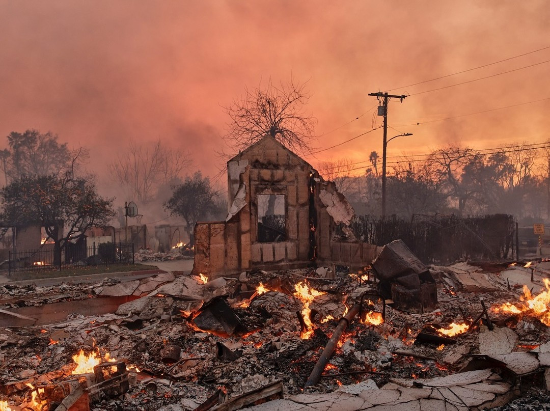
Fire Chief's Statement on LA Fires

LA Fires

Dear Residents of Corte Madera, Larkspur, and Greenbrae,

Recent wildfires in Southern California serve as a stark reminder of the risks we face here in Marin. Wildfires are a predictable part of our environment, and preparedness is essential to protect our communities and loved ones.

Understanding Our Wildfire Risk

History has shown us that wildfire conditions often repeat themselves. From the Oakland Hills Fire to the Tubbs Fire, we’ve seen how predictable factors like weather, terrain, and vegetation create the potential for devastating fires. Wildfires are no longer confined to a season; they can happen any time of year, and our community must adapt to this reality.

Proactive Measures in Our Communities

Continue reading

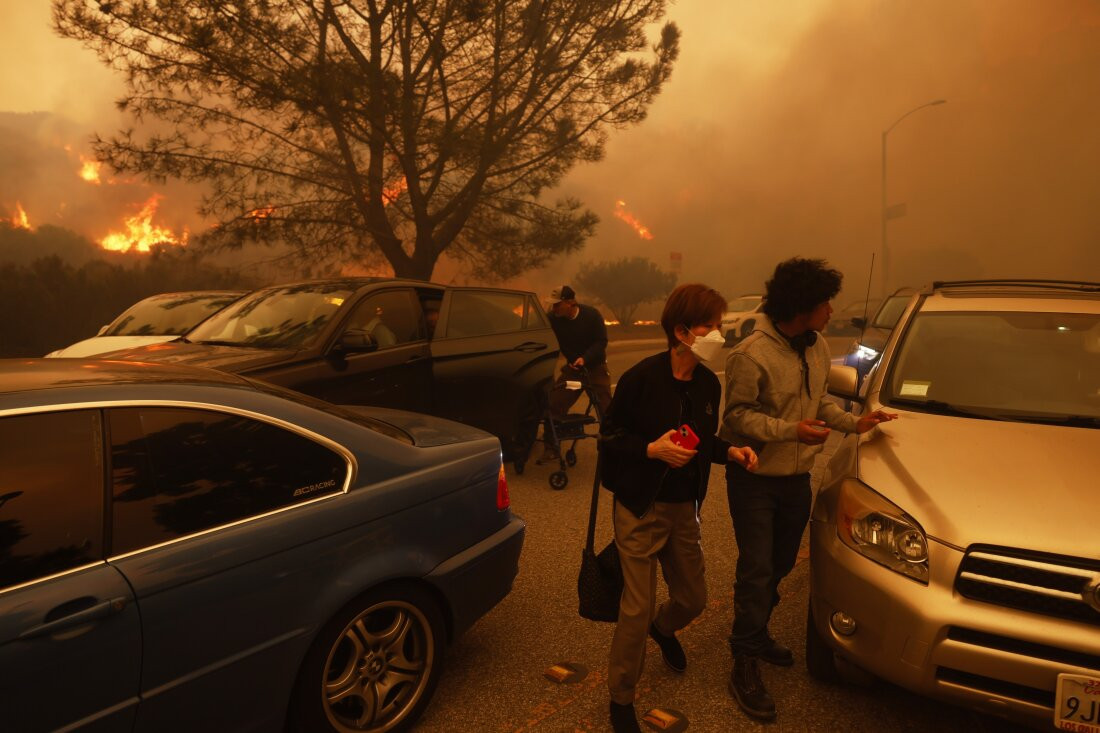
Be Prepared: Wildfire Evacuation Tips for Larkspur, Greenbrae, and Corte Madera

wildfire-evac-palisades

Dear Residents,

At Central Marin Fire Department, our top priority is ensuring the safety of our community and neighbors during wildfire season. Wildfires can spread rapidly, and being prepared to act quickly is critical to protecting yourself, your family, and your neighbors. Below, we’ve outlined essential tips, tools, and resources to help you stay informed and ready.


Wildfire Evacuation: A Comprehensive Guide for Central Marin

Wildfires are an inherent risk in Marin County, and their dynamic nature requires every resident to be prepared to act quickly and decisively. Evacuation planning is one of the most effective ways to protect lives during wildfire emergencies. This page serves as your detailed guide to wildfire evacuation, tailored to the unique terrain and challenges of Central Marin.

Understanding Evacuations

Wildfires are dynamic and influenced by numerous factors, making their behavior challenging to predict without precise knowledge of the ignition point, weather conditions, and terrain at the time of the fire. This unpredictability underscores the importance of having a well-prepared evacuation plan that can be adapted to real-time conditions. Public safety officials issue three primary types of notifications:

  • Evacuation Warning: Prepare to leave. A short delay to gather essentials may be permissible, but readiness to depart immediately is critical.
  • Evacuation Order: Leave immediately. Do not delay for any reason. Follow all instructions from authorities.
  • Shelter in Place: Stay in a safe location when evacuation is unsafe or unnecessary.

Knowing the difference between these notifications and being ready to act can save lives.

Key Principles for Safe Evacuation

  1. Evacuate Downhill Whenever Possible: Fires move uphill rapidly due to wind and radiant heat.
  2. Take the Shortest Route to Safety: Time is critical. Use the quickest route to the valley floor or a designated safe area.
  3. Stay in Your Vehicle When Evacuating: Vehicles provide protection from smoke, radiant heat, and embers.
  4. Know Two or More Routes: Familiarize yourself with multiple paths out of your area to ensure flexibility during an emergency.
  5. Avoid Fire Roads and Open Space Areas: These routes often have unburned vegetation and are not designed for evacuation.
  6. Dress to Protect Yourself, Even in Your Car: Wear cotton or wool clothing, long sleeves, and long pants. Sturdy shoes or boots, leather gloves, goggles, a floppy cotton hat, and a cotton face covering with an N95 mask provide additional protection.

Step 1: Prepare Before a Wildfire

Create an Evacuation Plan

Develop a personalized evacuation plan for your household. Consider the following:

Continue reading

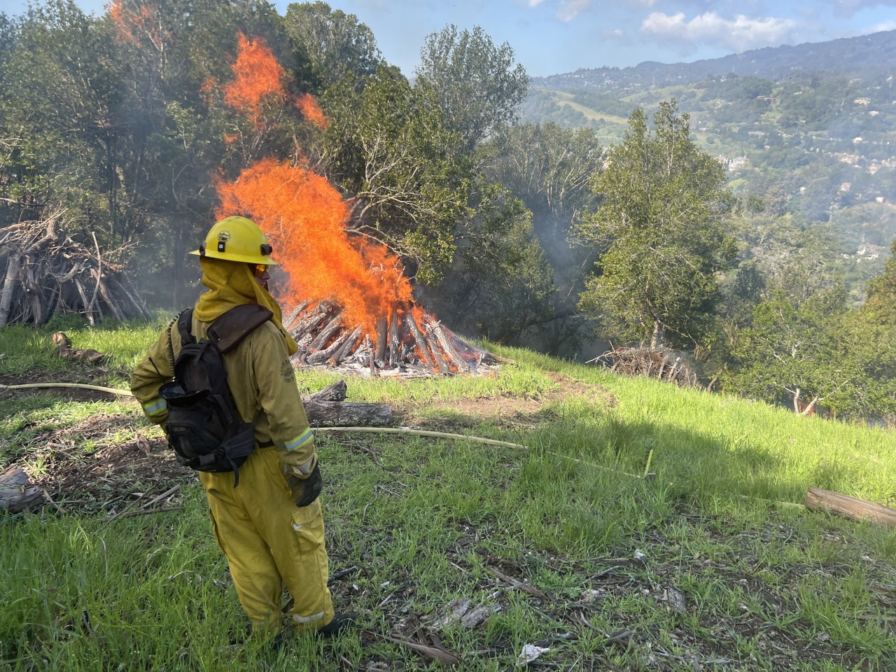
Pile Burning Near Larkspur/Madrone Canyon Begins 4/15/24

Pile burning Central Marin Fire Department Larkspur and Corte Madera Pile burning Central Marin Fire Department - Larkspur and Corte Madera, CA as part of the GHreater Ross Valley Shaded Fuel Break

Starting the week of April 15, Firefighters, in cooperation with Marin County Parks and Open Space, will begin burning brush piles for disposal in Larkspur's Madrone Canyon (Redwood, Millard, Olive streets) and Kentfield's Blue Ridge. This work, funded by Measure A, is part of the multi-year "Greater Ross Valley Shaded Fuel Break" project. The Grea...

Continue reading